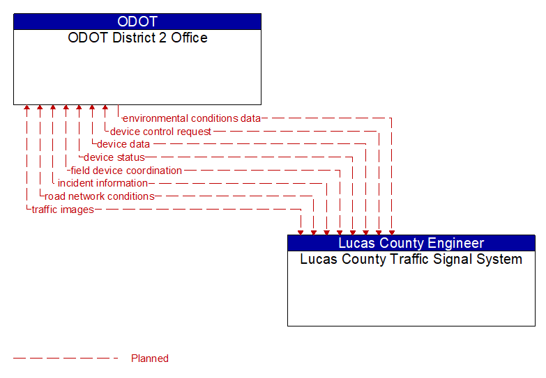
Interface: ODOT District 2 Office - Lucas County Traffic Signal System
Information Flow Definitions
device control request (Planned) Selected Comm Solution
Request for device control action
device data (Planned) Selected Comm Solution
Data from detectors, environmental sensor stations, roadside equipment, and traffic control devices, including device inventory information.
device status (Planned) Selected Comm Solution
Status information from devices
environmental conditions data (Planned) Selected Comm Solution
Current road conditions (e.g., surface temperature, subsurface temperature, moisture, icing, treatment status) and surface weather conditions (e.g., air temperature, wind speed, precipitation, visibility) as measured and reported by fixed and/or mobile environmental sensors and aggregated by the data collector. Attributes relating to the data collection (and aggregation) are also included.
field device coordination (Planned) Selected Comm Solution
Coordination between operating centers that share control of the same field devices. This flow supports coordination to prevent conflicts and allow cooperative management of shared devices.
incident information (Planned) Selected Comm Solution
Notification of existence of incident and expected severity, location, time and nature of incident. As additional information is gathered and the incident evolves, updated incident information is provided. Incidents include any event that impacts transportation system operation ranging from routine incidents (e.g., disabled vehicle at the side of the road) through large–scale natural or human–caused disasters that involve loss of life, injuries, extensive property damage, and multi–jurisdictional response. This also includes special events, closures, and other planned events that may impact the transportation system.
road network conditions (Planned) Selected Comm Solution
Current and forecasted traffic information, road and weather conditions, and other road network status. Either raw data, processed data, or some combination of both may be provided by this flow. Information on diversions and alternate routes, closures, and special traffic restrictions (lane/shoulder use, weight restrictions, width restrictions, HOV requirements) in effect is included.
traffic images (Planned)
High fidelity, real–time traffic images suitable for surveillance monitoring by the operator or for use in machine vision applications. This flow includes the images. Meta data that describes the images is contained in another flow.