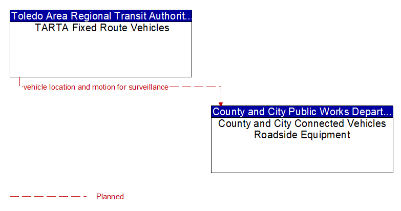
Interface: TARTA Fixed Route Vehicles - County and City Connected Vehicles Roadside Equipment
Information Flow Definitions
vehicle location and motion for surveillance (Planned) Selected Comm Solution
Data describing the vehicle's location in three dimensions, heading, speed, acceleration, braking status, and size. This flow represents monitoring of basic safety data ('vehicle location and motion') broadcast by passing connected vehicles for use in vehicle detection and traffic monitoring applications.