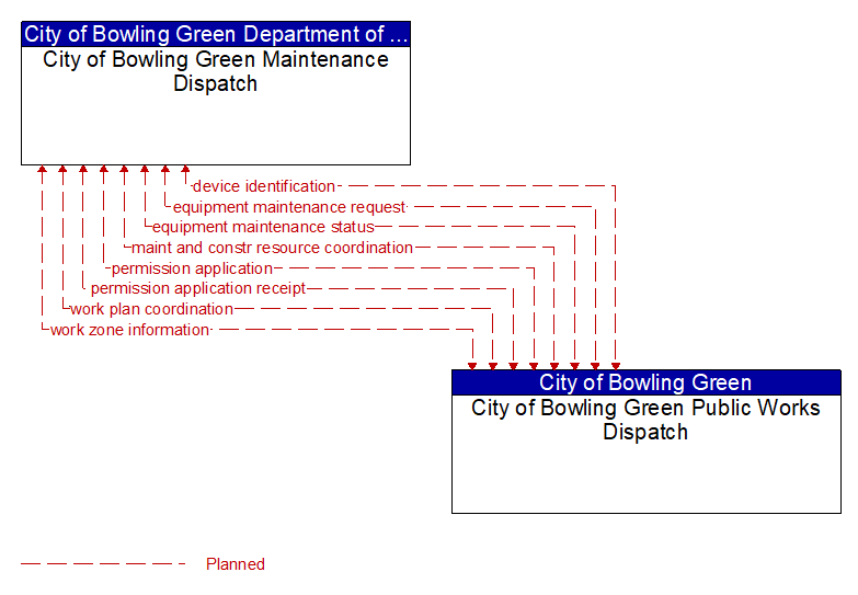
Interface: City of Bowling Green Maintenance Dispatch - City of Bowling Green Public Works Dispatch
Information Flow Definitions
device identification (Planned) Selected Comm Solution
An identifier and device type designation that is used to uniquely identify a device in the Connected Vehicle Environment.
equipment maintenance request (Planned)
Identification of field equipment requiring repair and known information about the associated faults.
equipment maintenance status (Planned)
Current status of field equipment maintenance actions.
maint and constr resource coordination (Planned) Selected Comm Solution
Request for road maintenance and construction resources that can be used in the diversion of traffic (cones, portable signs), clearance of a road hazard, repair of ancillary damage, or any other incident response.
permission application (Planned) Selected Comm Solution
A request for permission to access a Connected Vehicle service by an end–user that requires enrollment. This may include services granted to drivers of low emissions vehicles or pedestrians with special needs that require extended crossing times for example.
permission application receipt (Planned) Selected Comm Solution
An acknowledgment that an end–user application for a Connected Vehicle service was received and processed.
work plan coordination (Planned) Selected Comm Solution
Coordination of work plan schedules and activities between maintenance and construction organizations or systems. This information includes the work plan schedules and comments and suggested changes that are exchanged as work plans are coordinated and finalized.
work zone information (Planned) Selected Comm Solution
Summary of maintenance and construction work zone activities affecting the road network including the nature of the maintenance or construction activity, location, impact to the roadway, expected time(s) and duration of impact, anticipated delays, alternate routes, and suggested speed limits. This information may be augmented with images that provide a visual indication of current work zone status and traffic impacts.