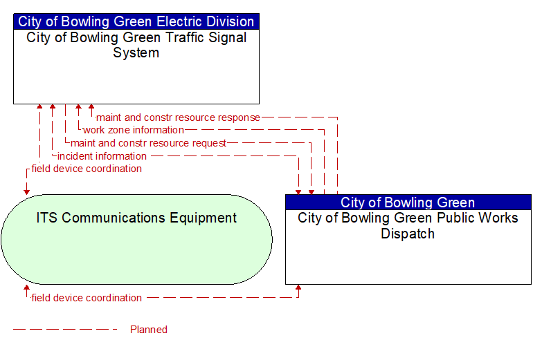
Interface: City of Bowling Green Traffic Signal System - City of Bowling Green Public Works Dispatch
Information Flow Definitions
field device coordination (Planned) Selected Comm Solution
Coordination between operating centers that share control of the same field devices. This flow supports coordination to prevent conflicts and allow cooperative management of shared devices.
incident information (Planned) Selected Comm Solution
Notification of existence of incident and expected severity, location, time and nature of incident. As additional information is gathered and the incident evolves, updated incident information is provided. Incidents include any event that impacts transportation system operation ranging from routine incidents (e.g., disabled vehicle at the side of the road) through large–scale natural or human–caused disasters that involve loss of life, injuries, extensive property damage, and multi–jurisdictional response. This also includes special events, closures, and other planned events that may impact the transportation system.
maint and constr resource request (Planned) Selected Comm Solution
Request for road maintenance and construction resources that can be used in the diversion of traffic (cones, portable signs), clearance of a road hazard, repair of ancillary damage, or any other incident response. The request may poll for resource availability or request pre–staging, staging, or immediate dispatch of resources.
maint and constr resource response (Planned) Selected Comm Solution
Current status of maintenance and construction resources including availability and deployment status. General resource inventory information covering vehicles, equipment, materials, and people and specific resource deployment status may be included.
work zone information (Planned) Selected Comm Solution
Summary of maintenance and construction work zone activities affecting the road network including the nature of the maintenance or construction activity, location, impact to the roadway, expected time(s) and duration of impact, anticipated delays, alternate routes, and suggested speed limits. This information may be augmented with images that provide a visual indication of current work zone status and traffic impacts.